
Cincinnati ZIP Code Directory Coverage
The City’s Street Listings Guide sorts ZIP Codes by its City tax and street classification. The complete list below is complete for that guide’s classification. It is not a universal list of Postal Service ZIP Codes that can use Cincinnati as an acceptable mailing city. Use the number and street, not the five-digit ZIP alone, when the address sits near a boundary.
| ZIP | Areas Covered | Post Office | Notes |
|---|---|---|---|
| 45201, 45202, 45203, 45206, 45210, 45214, 45219, 45220, 45221, 45223*, 45225, 45226, 45228, 45232, 45234, 45250, 45267 | Classified by the City guide as entirely within Cincinnati | Verify the delivery ZIP from the full address through USPS | 45223 has one City block of Shepherd Road; the remaining area is outside Cincinnati. |
| 45204, 45205, 45207, 45208, 45209, 45211, 45212, 45213, 45215, 45216, 45217, 45224, 45227, 45229, 45230, 45231, 45233, 45237, 45238, 45239, 45248 | Classified by the City guide as both inside and outside Cincinnati | Verify the delivery ZIP from the full address through USPS | Resolve the exact address in the City guide, CAGIS, and Auditor records. |
| 45218, 45236*, 45240, 45241, 45242, 45243, 45244, 45245, 45246, 45247, 45249, 45251, 45252, 45253, 45254, 45255 | Listed by the City guide as entirely outside Cincinnati | Verify the delivery ZIP from the full address through USPS | 45236 has City exceptions at 6700 and 6701 Grace Avenue; check the current guide and parcel tools. |
The guide is a useful municipal and tax-district screen, not a promise that every delivery point is a street address or that every postal address has the same jurisdiction. A full street address remains the deciding input. A ZIP that appears in the shared row needs the same careful treatment whether the research question involves a parcel, a City request, or a local record.
Cincinnati ZIP Code Delivery Geography
USPS ZIP Codes are delivery-routing constructs. City corporate limits, tax districts, neighborhood names, school districts, and parcel lines are separate geographies. The USPS Find a ZIP Code tool is the first check for a postal-standardization question because it works from the full address. It does not decide whether the address is inside Cincinnati or identify the legal parcel.
The USPS lookup screen provides the postal half of a Cincinnati ZIP code directory search.
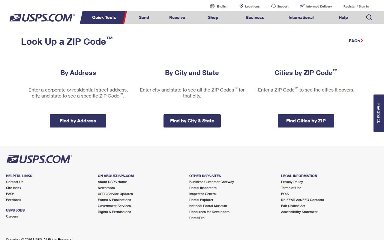
After USPS verifies the delivery relationship, use City and County sources to identify municipal and parcel context instead of relying on the mailing-city line.
Note: A postal label can be correct for mail and still be the wrong basis for a City jurisdiction decision.
Finding Residents in a Cincinnati ZIP Code
There is no verified ZIP-wide people search in the Hamilton County Auditor interface. Its documented paths are address, owner, parcel, sales, and advanced criteria. A ZIP should therefore narrow a full address, not become a claim that the Auditor can list everyone in a postal area. Follow the address from delivery verification to the City guide, CAGIS, and the Auditor, then read the property record for the particular parcel.
- Enter the complete address in USPS Find a ZIP Code and retain the returned postal form.
- Check the number and street in the City Street Listings Guide. Shared ZIP Codes require this address-level step.
- Locate the address in CAGIS and use its parcel context to test the mapped jurisdiction and Property Boundaries layer.
- Search the returned address or parcel in the Hamilton County Auditor, then label owner, situs, tax mailing address, and transfer facts separately.
Once a ZIP has narrowed the area to a street, the address-by-address record chain belongs in the Cincinnati street directory. A ZIP alone should not be used to join people, households, or neighboring parcels.
Cincinnati ZIP Code Address Handoff
Postal standardization is only the first handoff. The next record question is usually about the parcel. The Auditor’s address route uses the actual property address and provides a way to recover when postal and parcel forms do not match. If an exact search fails, the Auditor guidance recommends trying a nearby range and then checking aerial imagery and parcel layers. Capture the complete 13-character parcel ID once the correct property is found.
| Auditor address handoff field | How it is used after ZIP verification |
|---|---|
| House # Exact/Low | Enter the specific house number; use the low number for a nearby range when an exact postal form fails. |
| House # High | Optional upper end of the address range for a broader address check. |
| Street Name | Enter the street base and compare the returned parcel address with the original source form. |
| Parcel identifier | Preserve the returned 13-character parcel ID for CAGIS and Recorder reconciliation. |
The official Hamilton County Auditor guidance illustrates the property-search fallback that follows a postal address check.
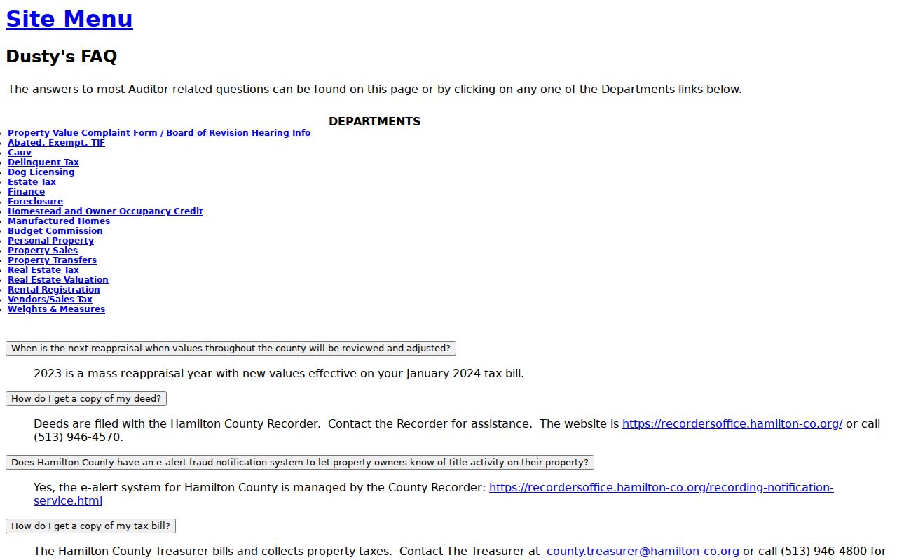
A parcel ID and legal description are more stable local record anchors than a ZIP or mailing label when sources disagree.
Cincinnati ZIP Code Boundary Mismatches
A Cincinnati ZIP code can overlap another municipality, and an address with a Cincinnati mailing line can be outside City limits. The City guide’s shared category exists for that reason. Its edge exceptions show why the street number matters: 45223 has only one City block of Shepherd Road, while 45236 has the two listed Grace Avenue addresses inside Cincinnati. Those facts should be confirmed again in the current guide and parcel tools before choosing a City office.
Cincinnati Planning maps add current neighborhood, zoning, historic, flood, and other City map context to an address check.
Map context helps identify a location, but a recorded legal description or survey remains the stronger source for an exact boundary question.
Boundary check. A USPS ZIP verifies delivery. Use the City guide, CAGIS, and the Auditor to determine whether a specific Cincinnati address is inside City jurisdiction.
Cincinnati ZIP Code Grid Rules
Cincinnati and Hamilton County use a shared Decimal, Hundred-Block, and Philadelphia addressing system across most of the county, with seven distinct grids countywide. Numbers generally increase away from the system origin. Direction depends on a street’s orientation, not its suffix. Odd and even numbering is usual, but the guidelines warn that older areas and other municipalities can have different patterns. A diagonal street needs an orientation check rather than an assumption based on how it looks on a small map.
The City Department of Transportation and Engineering is the legally mandated addressing authority inside Cincinnati corporate limits. Hamilton County Planning has the corresponding role in unincorporated areas and some municipalities. CAGIS maintains current street names, address ranges, and related land-record data. The legal name is the one recorded on a subdivision plat or street-name petition; an alternate route label can be only an alias.
Note: Preserve the spelling and format supplied by each record before trying to normalize an address.
Cincinnati ZIP Code History 1895
Most Cincinnati street addresses changed in 1895. That historical break can make a present ZIP and parcel look unrelated to an older directory entry. Use old-number Robinson maps and the 1891 Sanborn maps for the earlier number, then 1904 and later maps with directory years after the change. Do not put an old number into a modern property tool and assume a close result refers to the same place.
For a disputed match, preserve the old and current address forms, compare the street’s map position, and use the legal description, parcel, recorded plat, or Recorder instrument to bridge the change. Cincinnati history is useful here because postal geography is current, while the historical address may be a different numbering system altogether.
Cincinnati ZIP Code Parcel Records
Four address forms often appear in a local search: the postal address, the situs address, the tax mailing address, and the legal description. They do different jobs. USPS handles delivery. The situs is the parcel’s location. The Auditor tax mailing field identifies where a tax bill is sent. The legal description is the recorded land description used to reconcile title and parcel history. They should not be silently treated as interchangeable.
CAGIS supplies an address locator and Property Boundaries layer for mapped context. The Auditor supplies the tax-record fields and transfer tab. For a historical or title conflict, Recorder Acclaim can be searched by Auditor Number, Book/Page, Document Number, or Subdivision/Lot. Compare the legal description and instrument date before connecting a mail address to a parcel.
Cincinnati ZIP Code Terms
Postal and local land-record terms describe different kinds of location. Keeping them distinct makes a Cincinnati ZIP code directory search easier to repeat and easier to correct when a result is unclear.
- ZIP and ZIP+4
- A ZIP is the five-digit Postal Service delivery code. ZIP+4 adds a narrower delivery segment and does not establish a City boundary.
- PO Box ZIP
- A ZIP used for post-office-box delivery. It can differ from the ZIP for a physical street address.
- Unique ZIP
- A ZIP chiefly assigned to one organization or high-volume destination. It is a postal designation, not proof of municipal jurisdiction.
- Carrier route
- A Postal Service delivery sequence within a ZIP area. It is a mail-routing term rather than a parcel boundary.