
Cincinnati Neighbors by Block Source
A useful Cincinnati block study is spatial and parcel-based. Begin with one confirmed parcel, identify the directly adjoining parcel shapes, and then use one official record at a time. The result is a dated set of parcel facts, not a personal roster. An owner field, mailing field, map position, and recorded document each have different meaning, so label them instead of merging them into one claim.
| Source | What It Shows About a Block | Access |
|---|---|---|
| CAGIS Online | Parcel geometry, cross streets, mapped layers, and nearby parcel IDs | Public map workspace |
| Hamilton County Auditor | One parcel's situs, legal description, tax-record name and mailing field, and transfers | Public parcel search |
| Recorder Acclaim | Recorded instrument parties, dates, Book/Page, and legal-description link | Free index; image access has stated account or counter routes |
| City address tools | Property activity, maintenance, or permit/case events at a stated address | Public address or case search |
| CHPL historic directories | Dated street and householder context for an earlier block | Library and digitized collections |
Start with a map when the question is about which parcels touch a Cincinnati address. Start with the Auditor when the parcel number is already known. Use the Recorder only when a title or document question needs the legal-description trail. Each route limits scope before a broader conclusion is made.
Cincinnati Neighbors in CAGIS
CAGIS Online is the City/County map workspace for testing the immediate area around a Cincinnati address. It is not a personal directory or title registry. Its public tools include an address locator, Property Boundaries, NearMe, Print, and an Attribute Table. Use the map to preserve parcel IDs, visible cross streets, the map date or layer context, and the exact buffer used.
- Enter the anchor address in the address locator and turn on Property Boundaries.
- Select the returned parcel, check that its mapped position and street number fit, and record its parcel ID.
- Choose NearMe with Parcel Boundaries and a short buffer. The public configuration shows a 200-foot default and a 1,500-foot maximum.
- Use the Attribute Table filtered to the map extent to record only the bounded set of adjacent parcel IDs, directions, and cross-street context.
- Take each parcel ID to the Auditor separately. Nearby geometry does not establish shared ownership, a shared household, or a relationship among people.
The 200-foot setting is a useful starting point, not a definition of a block. Reduce it when diagonal or cross-street parcels enter the result. A CAGIS map block is also different from a formal subdivision block, a City neighborhood, and a postal geography.
Note: Keep the selected layer and map date with each Cincinnati parcel note because map attributes and boundaries can change after the research date.
Cincinnati Neighbor Parcel Cards
For each parcel identified in CAGIS, use the Hamilton County Auditor Property Search with the exact Parcel Number. The return can provide the situs, legal description, tax-record owner, mailing field, and transfer details. Treat the tax-record name as a field from that record and date. It does not establish who occupies a place, and a mailing address can be different from the situs.
| Official parcel record | Commercial neighbor-lookup category |
|---|---|
| Labels the custodian, parcel, situs, and field types. | May combine sources without showing when a field changed or which custodian supplied it. |
| Supports a bounded map-and-parcel question. | May present a broad, unverified location association. |
| Lets the researcher compare a transfer row to a recorded instrument. | Cannot replace the Recorder instrument or legal description. |
This comparison is about source quality, not a method for identifying people. Save the parcel ID and the displayed field label. When a parcel is retired after a split or consolidation, do not assume an active record is the same land without checking the legal description and relevant recorded documents.
Cincinnati Neighbors and Recorder Changes
A block-level ownership question sometimes needs the Recorder, but only after the parcel has been resolved. Recorder Acclaim accepts an Auditor number, Book/Page, document number, subdivision or lot, party, and date routes. Confirm the instrument's party role, execution and recording dates, document type, Book/Page, and legal description before treating it as part of the parcel's trail.
Stop when a legal description changes. A lot split, merge, plat, correction, or right-of-way record can change how the map relates to the earlier document. CAGIS helps test geographic context, but the recorded legal description and instrument control the title question. For a full named-street record sequence, use the Cincinnati street directory rather than stretching a short-buffer block search into a streetwide claim.
Older Cincinnati records may require historic grantor/grantee and Book/Page research. The modern name method generally starts in 1988, so a pre-1988 result should be traced through the Recorder's historic route instead of being treated as a missing document.
Cincinnati Neighbors Voter Limits
The Hamilton County Board of Elections has an individual registration-status form, not a block-browsing tool. It requires a first name, last name, street number, street name, suffix, and ZIP code. The return can provide registration and precinct-related information for the submitted person and address. It should not be used to build a Cincinnati neighbor roster.
Ohio Revised Code §3503.13 makes voter materials public subject to specific exclusions. The Board also offers voter-list exports by the options it publishes, including district or precinct routes, but its public form does not offer a general street browse. If a narrow official records question remains, contact the Board for the identified record period rather than trying repeated individual confirmations.
Protected registrations and data-entry differences can produce a no-match. A no-result does not demonstrate that a person is absent from Cincinnati, and a positive status return does not establish a relationship to adjacent parcels.
Cincinnati Neighbors City Events
City address portals add an event layer to a Cincinnati block. The CAGIS Property Activity Report accepts an address or record number and can return identified categories and case details. Open Property Maintenance supports address searching with open, closed, or all records. Cincinnati ezTrak supports an address or permit/case route for building and related activity.
These portals document reported or administrative events, not a household list and not a title conclusion. Capture the case or record number, category, status, activity date, and the responsible department. When an underlying document is not public online, ask that department for the particular case record and any applicable release limits.
Note: A Cincinnati case date can help date an event at an address, but it does not identify who was present or establish why an event occurred.
Cincinnati Community Contact Layers
Community resources give a Cincinnati block useful public context, such as a meeting route, planning map, or local-history collection. They are not a database of personal contacts. Use the City vocabulary shown by the source: a City neighborhood, a community council, a CAGIS parcel, or a planning-map area. Those boundaries can overlap without being the same boundary.
Engage Cincy
Invest in Neighborhoods assists community councils and maintains a City-linked resource route.
City Planning Maps
Use current planning maps for City context, zoning, historic, flood, and related map layers.
CHPL Local History
Use historic street and householder sources for a dated layer, not a current contact list.
The Engage Cincy resources page is the source for this public community-contact layer.
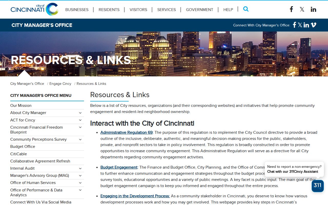
This Cincinnati image supports using a City-linked community route for local context while leaving personal information to the appropriate record custodian.
Cincinnati Neighborhood Counts Explained
The City Residents page says Cincinnati has 52 neighborhoods. The Engage Cincy resources page says Invest in Neighborhoods assists 51 community councils representing the City's neighborhoods. The difference matters: these are program and page-date counts, not proof that one map boundary, council, or parcel has a single permanent label. Record the source and its own vocabulary when adding community context to a Cincinnati parcel note.
For an older block, CHPL's street and householder directory materials can add a dated address layer. The 1905 and 1925 directory materials include street or householder sections, so the right section depends on whether the question begins with a name, an address, or a period context. Do not carry a present neighborhood label backward without a date-specific map or directory.
Cincinnati Story Center Context
Documented local stories can add context to a block after the parcel and record citations are clear. The Cincinnati History Library & Archives keeps printed works, maps, local histories, personal papers, and organizational records, with appointment-based research access. It is a useful archival fallback when an online parcel or directory trail stops, but an archival narrative should retain its collection and date information.
The Cincinnati History Library & Archives describes its research collection and appointment route.
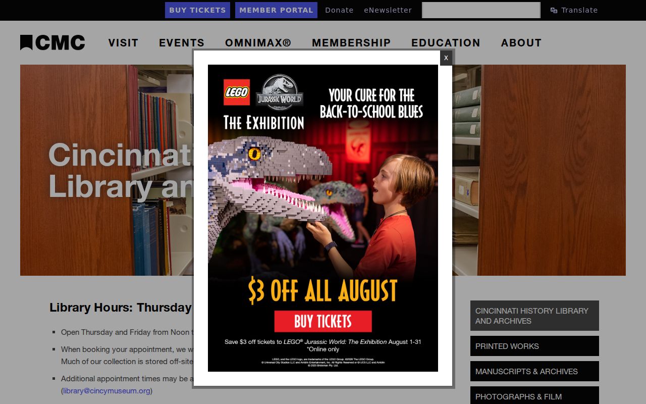
For Cincinnati block research, this archival source can help connect a dated neighborhood record to its original map, paper, or collection context.
CHPL's Story Center provides an institutional route for preserving a family or neighborhood narrative alongside, not instead of, the parcel and directory citations.
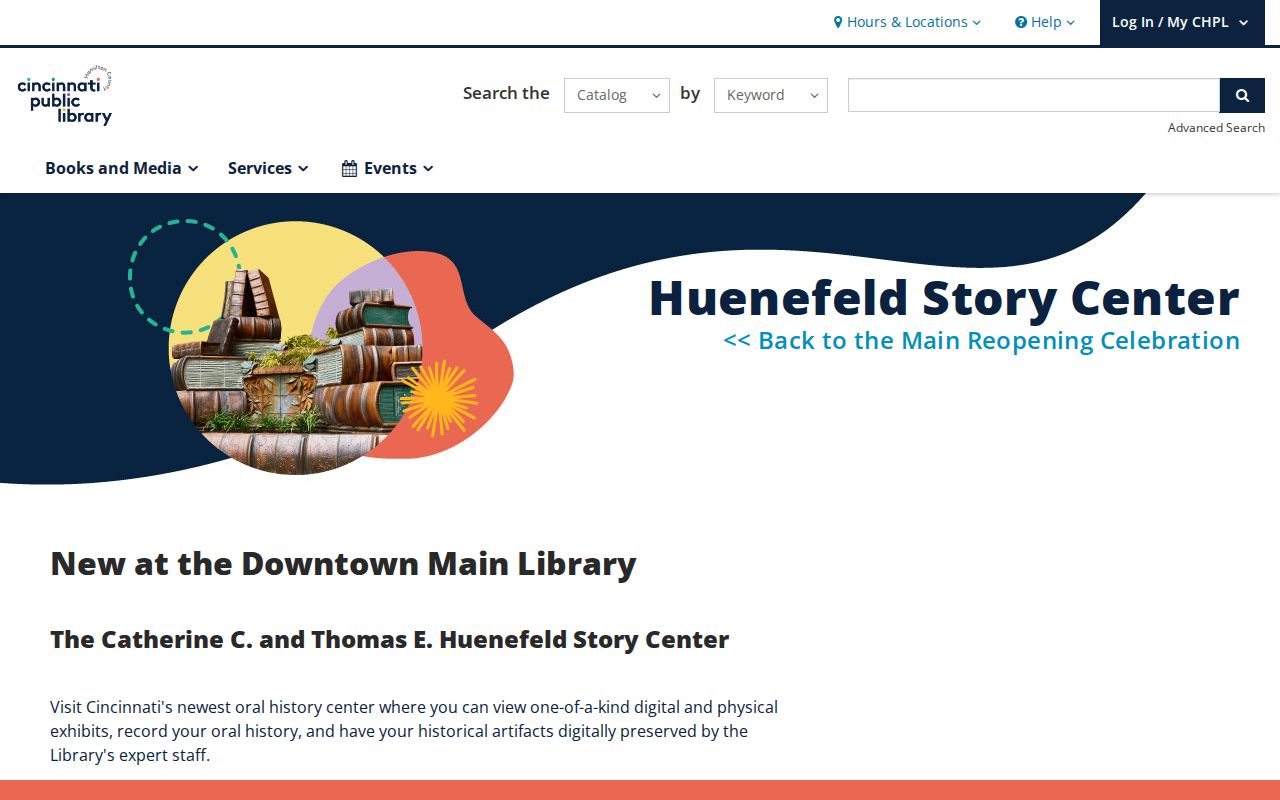
The Cincinnati Story Center source is a way to preserve local memory with provenance while factual claims remain tied to their specific records.
Cincinnati Neighbors Privacy Limits
Ohio's Safe at Home program provides an address-confidentiality route for qualifying participants and supports confidential voter-registration arrangements. Under the program, a missing public result may have several explanations, including protected status or an ordinary mismatch. It is never evidence that a person is absent or that a nearby parcel is unconnected.
Parcel ownership, a mailing field, a recorded party, and a public City case are each limited facts. Utility and delivery records are not general public address sources. For a disputed parcel match, retain the conflict, compare the parcel ID and legal description, and request the narrow record from the custodian under Ohio's Public Records Act when appropriate.